Moab, Utah
And surrounding parks

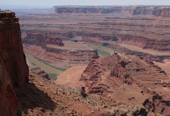
The next morning, June 15, 2021, we left early and drove north to Salina on I-15, and from there took I–70 east through Utah. This is a wonderfully scenic road (although the speed limit is 80 mph!), and we stopped at four view-points of an area generally known as the San Rafael Swell. The area looked really fascinating, and we’ll try to return at a cooler time of year.
Here is Spotted Wolf Canyon where we took a short walk on a narrow ledge.
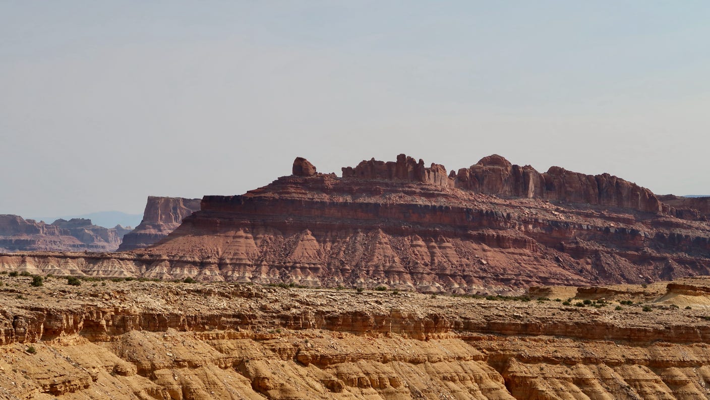
Here is another view along I–70.
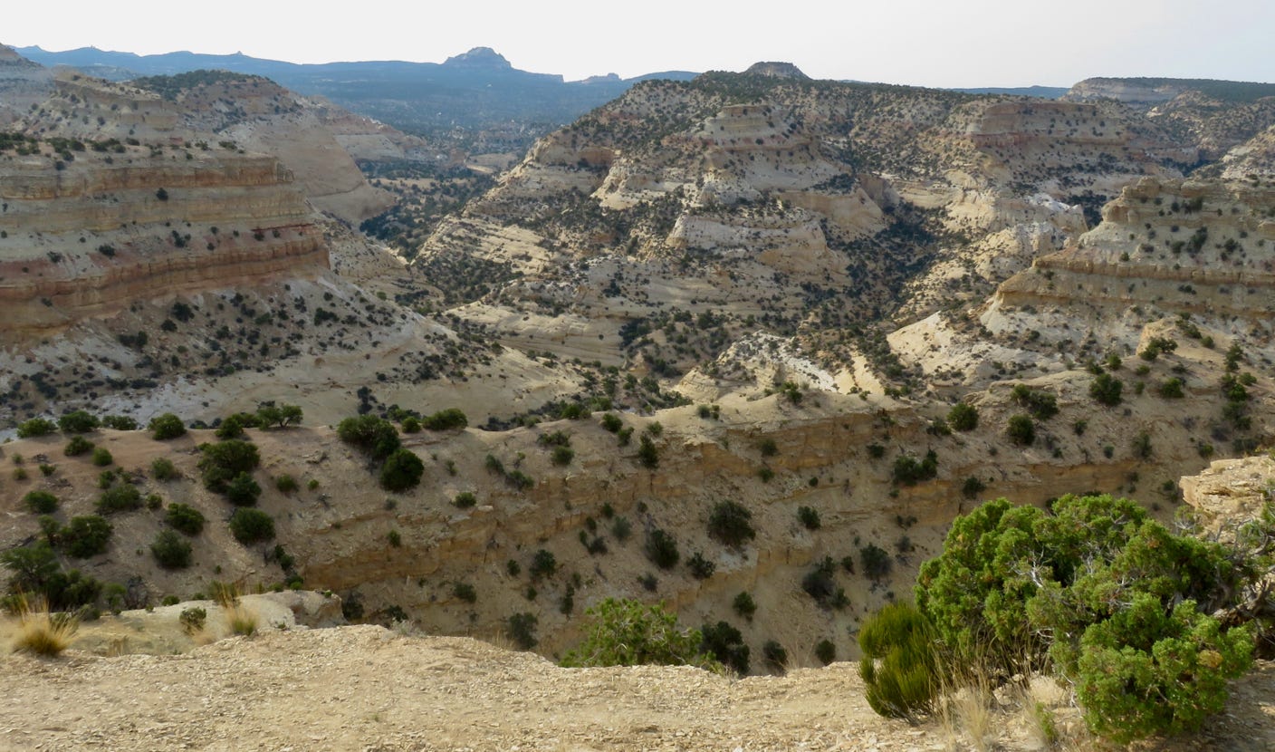
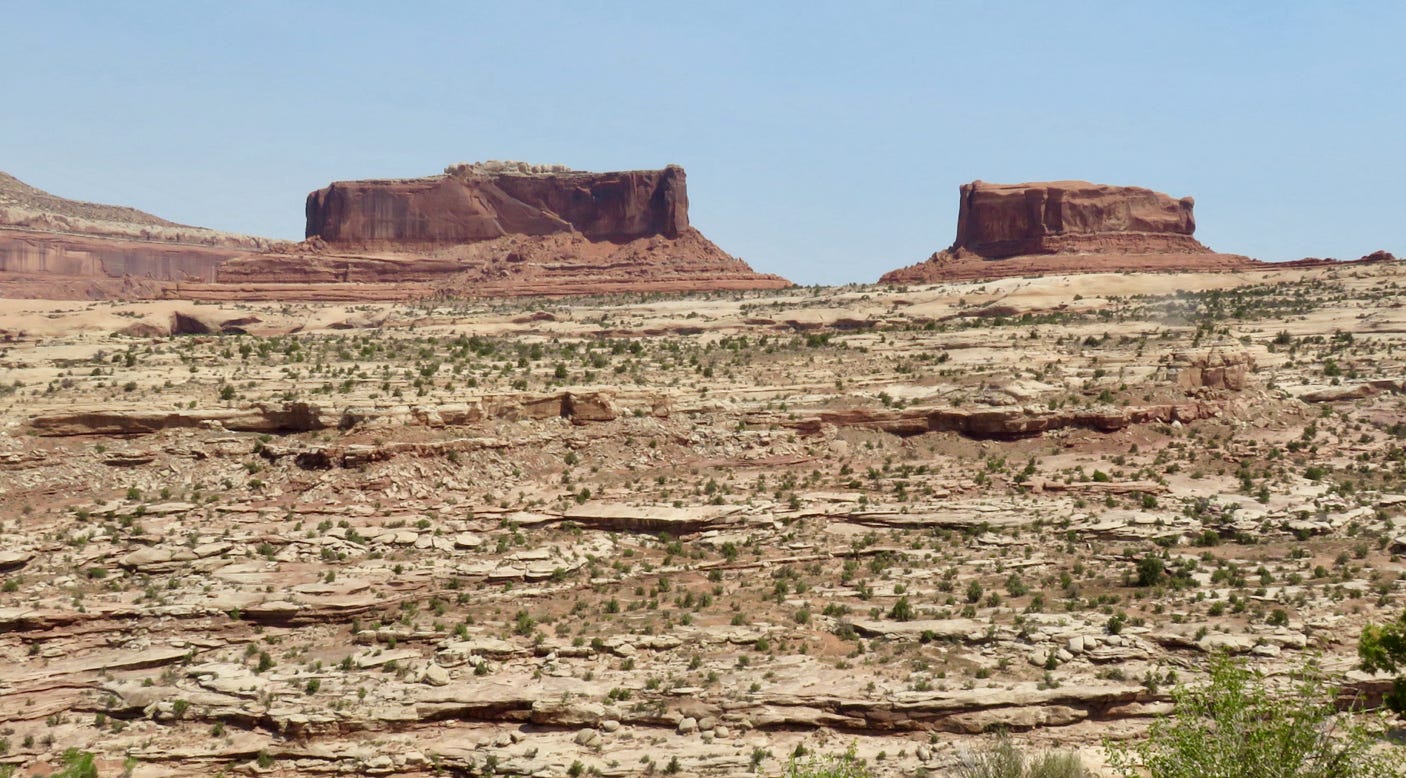
There was an unusual heatwave, with predicted highs near 110°F, and although we left very early, it was still too hot to hike by 10 a.m. So we decided instead to take some scenic drives in our air conditioned car. After picking up lunch in Green River, we drove south on US 191 towards Canyonlands National Park. We stopped at Monitor and Merrimac viewpoint (SR 313 not far from the turnoff from US 191) for a view (Monitor is on the right).
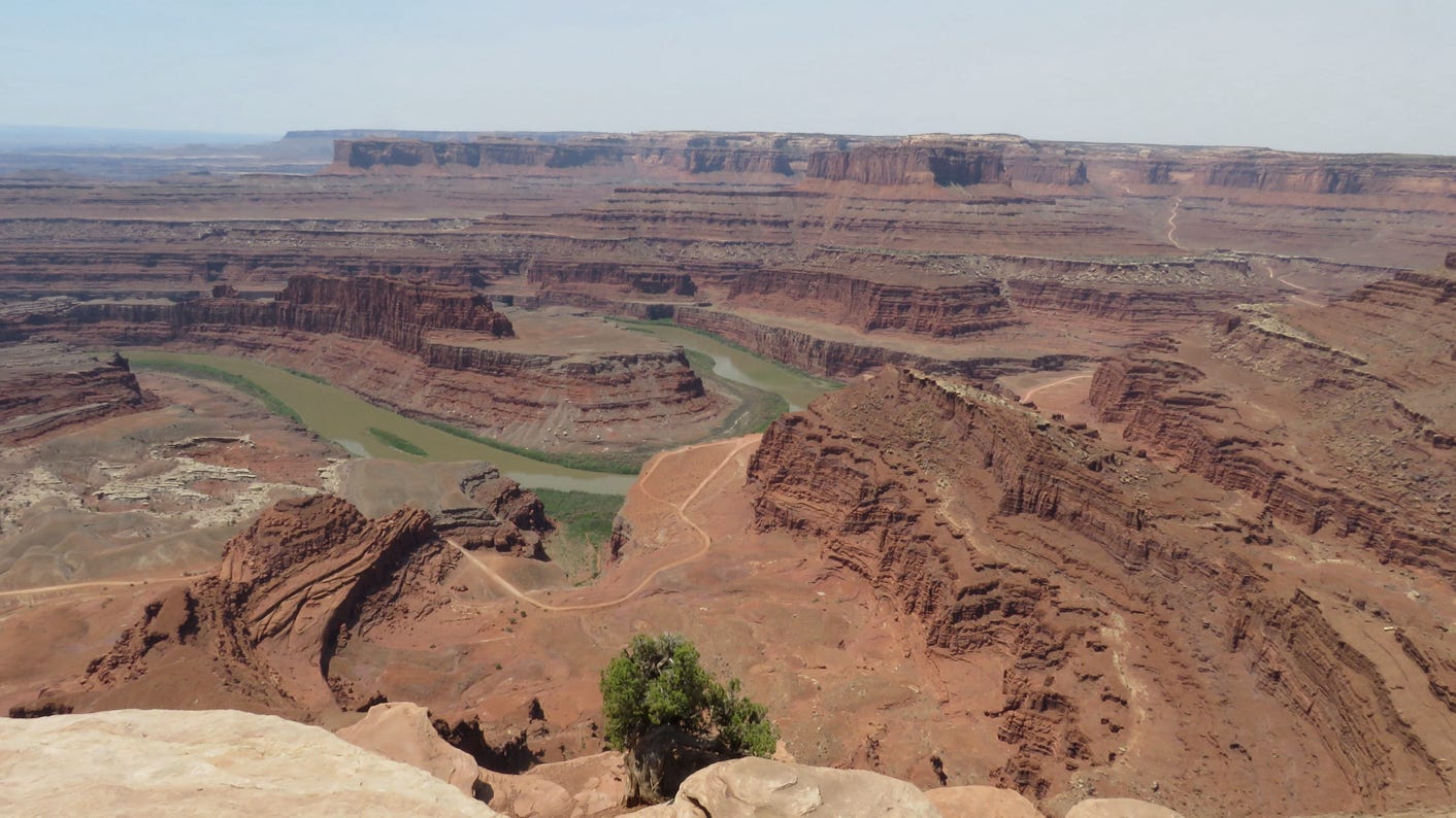
From there, we drove to Dead Horse Point State Park for a picnic lunch (there was a shade screen for the table thankfully). The view of the Colorado River there is spectacular.
Then we drove another half hour or so to Canyonlands’ Island in the Sky district. We had been there in 1986, but didn’t have a strong memory. We’d like to return when not so hot. We drove to the Grandview Point at the end of the road.
Here are two Canyonlands photographs.
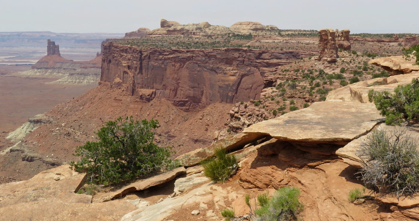
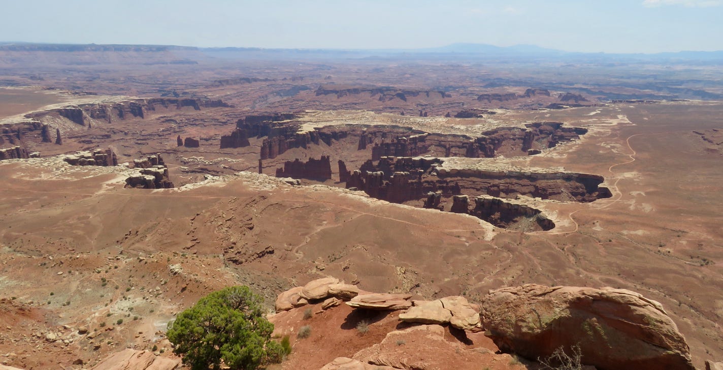
After taking in several viewpoints, we retraced our route back to Moab for the night. When we arrived, it was hot—109F. Before dinner, we took another short scenic drive along the lower Colorado River (Rte 279) until the end of the pavement near Potash. Moab has much more going on than the last time we visited. There were businesses spraying cool mist to help with the heat. Alas, we only have one night, as it’s on to Colorado tomorrow.
June 16, 2021
We awoke at 5:15 am to beat the heat and drove to Arches National Park, about 6 miles from our motel. At the park gate, they were waving people through. But when we got to Wolfe Ranch, the parking lot was full even before 6:30 am! We were unable to park there to take the walk we had planned, so we drove then to Delicate Arch Lower Viewpoint where walked about three quarters of a mile to see the Arch. It was not at a good angle for the sun, unfortunately.
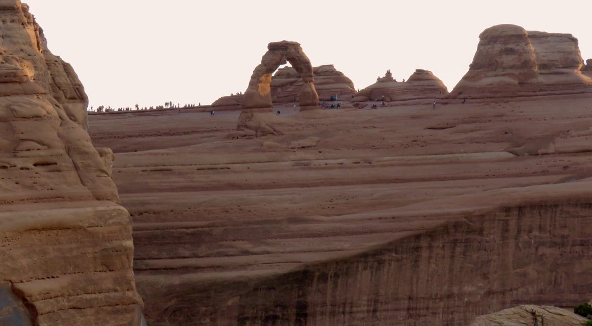
Here are more photos from Arches National Park.
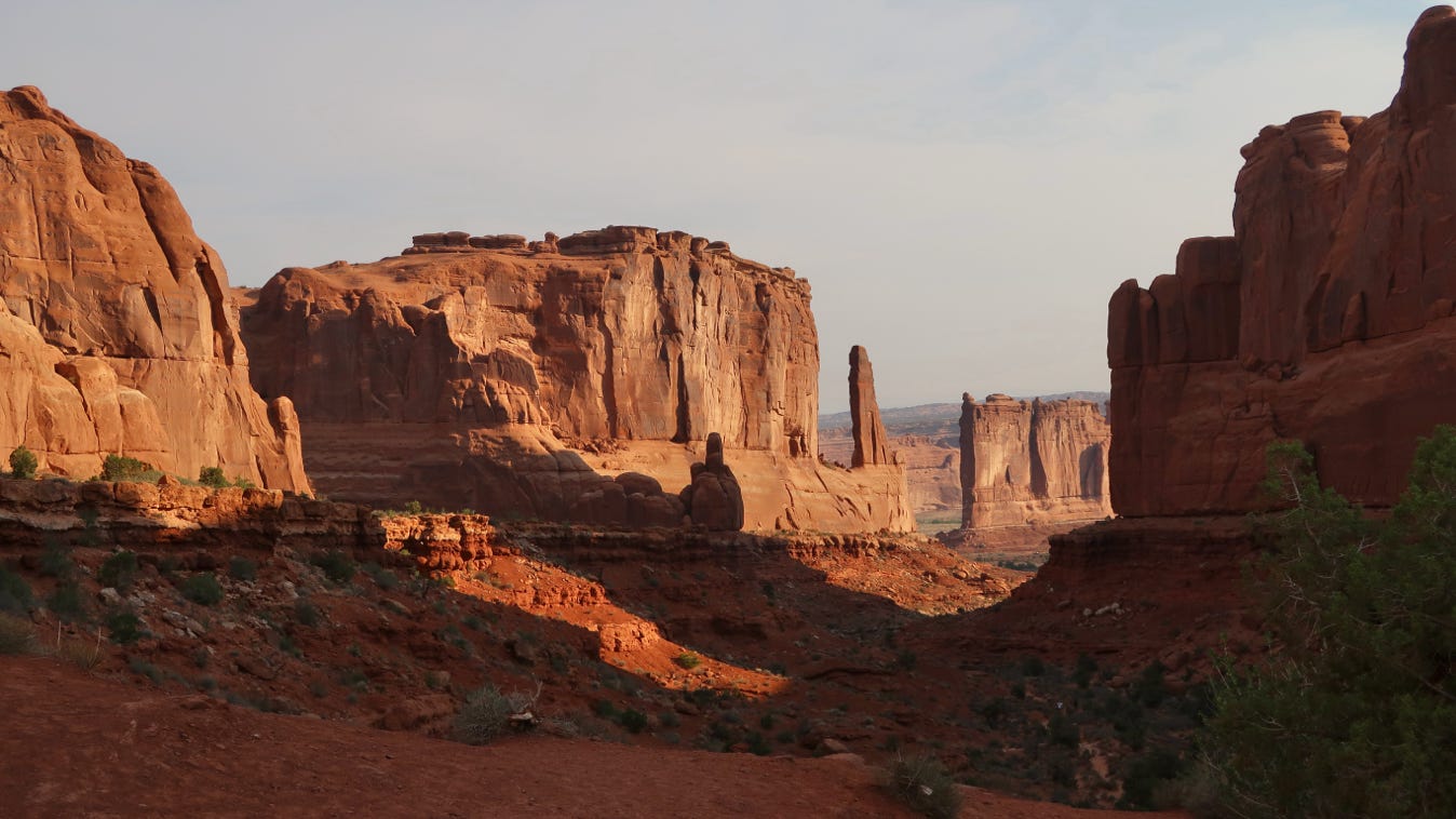
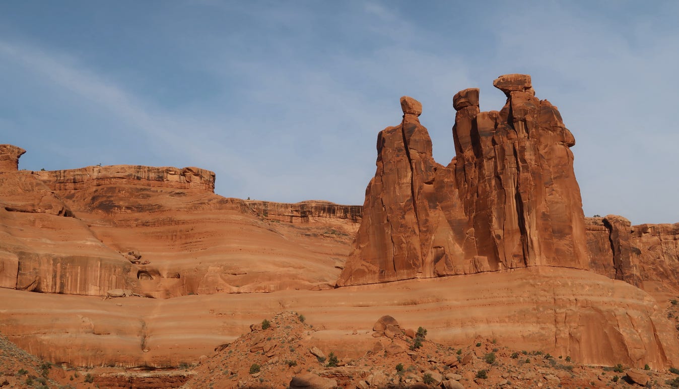
We took a short walk at Park Avenue, top photo, and saw the “Three Gossips”, lower photo. Again, we didn’t remember much from our 1980’s trip and think this park deserves another visit.
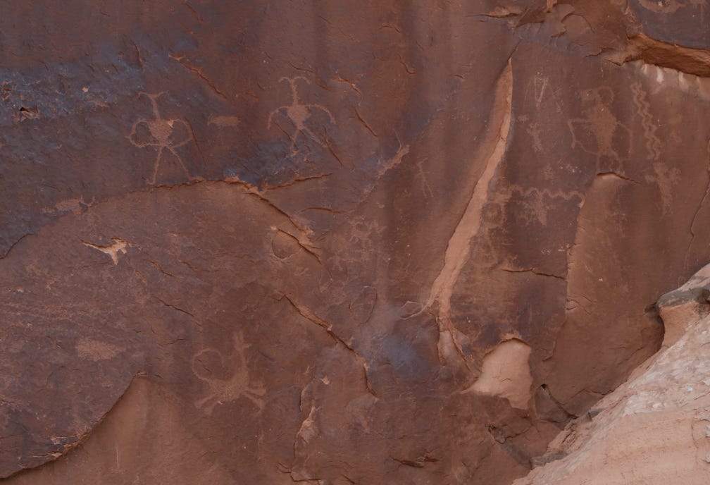
After breakfast back in Moab, we drove south on US 191 about 5 miles to the Golf Course Petroglyphs. You can drive right up to them. We will visit other petroglyphs on this trip, but this gave us a good taste of what is to come later.
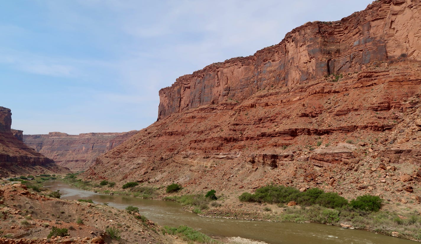
Afterwards, we drove north to take the Upper Colorado River Scenic Byway on Utah SR 128 heading east. It was a beautiful drive for an hour, and then the countryside became desolate.
Here is a picture of the scenic byway and the Colorado River.
Map below shows locations of most of the sights mentioned above.
We drove on rough back roads that brought us back to I-70 and drove on into Colorado. We stopped in Grand Junction, to which we would later return, for lunch, and then took US 50 (again) through another town called Delta to Montrose. Since it was still hot, we avoided outdoor activities and visited the (mostly indoor) Ute Indian Museum. We learned about Chief Ouray (who negotiated several treaties with the US) and his wife Chipeta who outlived him by over fourty years and is buried at the museum. From there, we went to the town of Ouray, named after the chief, at a higher and cooler elevation, to get a good look at the San Juan Mountains. We headed back to Montrose for dinner. All day, it was at least 90 degrees outside.
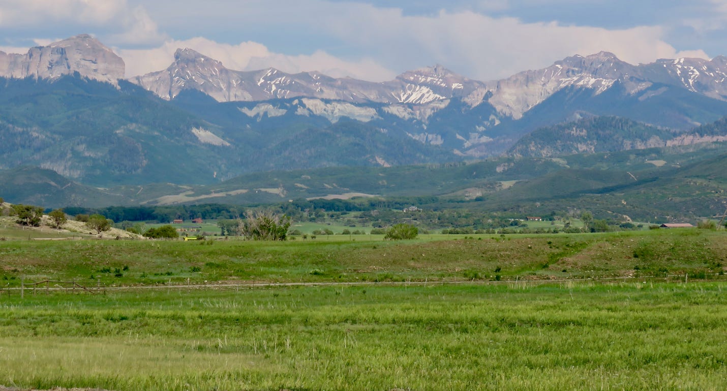
Above is a view of the San Juan Mountains north of Ouray on our way back to Montrose.
Tomorrow, we will visit the Black Canyon of the Gunnison and then meet up with our friends from Oakland in Grand Junction.
